- This event has passed.
2-Day Marine Weather with Lee Chesneau
November 4, 2017 @ 8:00 am - November 5, 2017 @ 4:00 pm
$195
This 2-day course is designed for the vast range of seafarers; from the inexperienced recreational sailboat cruisers & experienced racers, to power boaters, to commercial fishermen/women & seasoned professional mariners that operate their vessels from California, the U.S & Canadian Pacific Northwest & even Alaska. After leaving various originating marinas, docks, anchorages, or commercial ports, whether it be an afternoon sail in Shilshole Bay, considered part of the inland waters of western Washington or the coastal waters near Port Grenville or perhaps extended periods at sea over the near & further offshore waters & finally, the high seas of the north Pacific Ocean, this 2-day course will overlap and include all contingencies.
Presented by senior marine meteorologist Lee Chesneau, the course begins with the all-important discussion of the marine advisory & warnings system of the U.S. National Weather Service(NWS) & Environment Canada – (Strong Wind Warning/Small Craft Advisories (SCA), Gale, Storm, & Hurricane Force Warnings). Never leave the dock without knowing which one applies to your vessel & when on the high seas, adjusting strategies in a timely manner.
Pertinent topics will range from standard meteorological concepts of the atmosphere’s moisture & its role in cloud formation, types & precipitation; its weight (barometric pressure), the dynamics of air motion horizontally & vertically, generated by invisible forces that cause wind, to scales of weather systems; from global- jet streams; to synoptic scale- low & high pressures systems; to what you see from your wheel house- micro scale-thunderstorms/micro-bursts/waterspouts.
Lee will show you the importance of comparison of marine forecast charts (48-96 hour at sea-level surface pressure forecasts) to the most current surface pressure analysis chart of the same valid date & time. This allows one to determine the accuracy of the forecasts, & second, to discuss how systems develop & move across the north Pacific & impact geographic regions such as the Pacific Northwest.
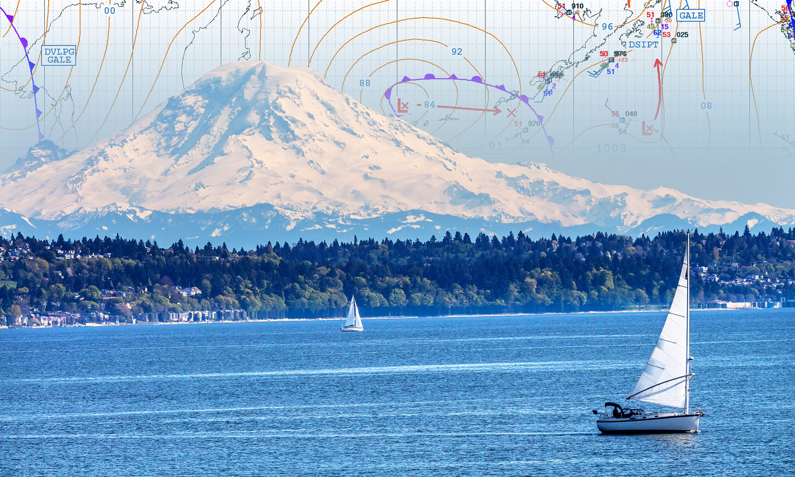
The meat & potatoes of the course will center on “synoptic scale weather systems”- especially those of the middle latitude (30/60N) where the waters of the Pacific Northwest lie. The constant influence & impact of organized low & high pressure systems & their associated synoptic scale features, such as fronts (cold, warm, occluded, & stationary), troughs, & ridges are depicted with graphical symbols by the NWS’s Ocean Prediction Center (OPC) on charts that will always drive local conditions at your vessel. This is simply an every-day occurrence in the Pacific Northwest. The course will also cover the other identifiable chart symbols on the at sea-level surface pressure charts from the OPC.
There will be a mixture of lecture & application hands-on exercises over the two-day time frame.
In addition to exposure of OPC products & services, attendees will be exposed to the variety of marine forecast products & services provided by the local NWS forecast office in Seattle & Environment Canada, in Vancouver B.C. These two forecast offices often coordinate their overlapping areas of responsibility of marine weather from the San Juan Islands to the inside passage such as the Georgia Strait & Juan de Fuca. Observed weather conditions form buoy & ferry vessel reports & their intervals will all be discussed to demonstrate the depth of current weather data you can receive while operating your vessel. There will be a discussion of the pros & cons of “fax charts” versus numerical weather model based “GRIB files”. The course will conclude with a discussion of means to procure weather information from HF-single side band, the Internet & to FTP mail.
Whether a novice or experienced sailor, this comprehensive course will offer an opportunity to put you on the road to learn how to become self-reliant in your own weather forecasting & prudent cruise decision making. Information on follow up Marine Weather II & III, each are two-day courses conducted in conjunction with Cruisers’ College will be offered to attendees of Marine Weather 1.
Register via EventBrite